
Address Trail Along a Millburn Street
Ownership and occupancy are different questions. Millburn’s strongest address trail starts at the Township Tax Assessor, which maintains property locations and tax maps, then moves through the Essex County Register’s recorded transactions. The result is a chain of parcel identifiers, tax contacts, deed parties, and historical address clues. It is not a complete roll of everyone at an address. Start with the street number and the Millburn, Short Hills, or Wyoming label shown on the record, then preserve the block, lot, and qualifier as you move between sources. Those parcel fields survive a changed street spelling more reliably than a name alone.
- Search the exact address through the Township-linked Property Record Card route. Record the situs, or physical property location, plus block, lot, qualifier, owner or taxpayer as displayed, mailing address, property class, assessment year, and tax-map reference.
- Separate the tax mailing address from the situs. Mail may go to an owner, representative, trust, or entity somewhere else. It is a contact clue, not evidence that a person lives at the Millburn parcel.
- Use the parcel’s block and lot in PRESS, choosing Millburn and a Warranty Deed or another relevant document type. Note both the current grantee and the seller named in the purchase instrument.
- Check the state voter-registration tool only for a matching person’s status. It does not provide a confirmed street-wide roster, and protected records or a non-match should not be overread.
- For an earlier household layer, read the numerical street section of a Price & Lee volume. The listing can connect a number to householders or businesses, then a deed, census, newspaper, or another directory year can test the match.
Each step uses a different key. The address finds a parcel, the parcel reaches the land index, and the land index supplies names and dates. A surname found in a historical listing should be treated as a lead until it agrees with another record type.
Millburn Street Directory Parcel Keys
For street directory work, the assessor’s card is the current bridge between a street string and the legal parcel. The Township links its Tax Assessor page to a municipality-specific PRC service, while the statewide Rutgers MOD-IV HDB supplies a useful annual field model. MOD-IV reaches back to 1989, but its public owner-name search was removed after Daniel’s Law. The local PRC and assessor office therefore remain the better starting point when an address is known. Assessed value is a tax figure, not a market-value conclusion.
- Parcel
- A defined piece of land identified in the tax-map system, commonly by block, lot, and sometimes qualifier.
- Situs address
- The physical Millburn location of the parcel. It can differ from the address used for tax correspondence.
- Plat
- A recorded map or subdivision plan that can explain how a lot was created, divided, or numbered.
- Criss-cross directory
- A reverse directory arranged by street number, useful for finding older household or business entries from an address.
Write the fields down exactly. A block and lot can connect an address to PRESS even when an old map uses a different street name, and a qualifier can separate a unit or additional parcel from the main lot.
Note: A grantee mailing address and a tax mailing address are record-contact fields, not proof of present physical residence.
Millburn Street Two-Address Test
Before connecting a name to a Millburn street, compare the different address fields rather than treating them as duplicates. The situs or property location identifies the physical parcel. A tax mailing address sends assessment correspondence to the taxpayer or representative. A deed cover sheet can carry a grantee mailing address at the time of recording, while USPS supplies a delivery format and postal city. One parcel can therefore have a Millburn Township jurisdiction, a Short Hills postal label, and a mailing contact elsewhere without any contradiction.
Use the municipal tax-map block, lot, and qualifier to hold those fields together. Then compare the current PRC, the deed’s legal description, and the historical map or directory entry. The test is especially useful when a property appears under Millburn, Short Hills, or Wyoming in different sources. It prevents a mailing field from being mistaken for a situs, and it makes an old numerical-street listing easier to tie back to the correct parcel.
Millburn Address Records at PRC
The official pages and building FAQ confirm owner, address, and parcel-number routes for the local property and permit tools. The exact live PRC form did not render fully during research, so the table distinguishes verified search routes from the broader New Jersey assessor field model. Use the Township-linked Property Record Card service as the local entry point and recheck any live label before relying on it. Results can include assessment and parcel data, but they should never be described as a household list.
| Field or route | Format | Use on a Millburn parcel | Verification note |
|---|---|---|---|
| Property or street address | Text | Find the situs record | Confirmed local starting route |
| Owner or taxpayer name | Text | Find a property record | Exact and partial matching behavior was not rendered |
| Block and lot | Text pair | Match the tax map and PRESS | Millburn tax-map identifiers |
| Qualifier | Text | Separate a unit or added parcel | Used where applicable |
| Property location | Result field | Confirm the situs | May differ from mailing address |
| Assessment year and class | Result or selector | Place the tax entry in time | Exact local choices were not captured |
| Land and improvement assessment | Result fields | Read the tax components | Total is not market value |
| Exemption or deduction | Result or filter | Read an approved tax flag | Does not establish occupancy |
The Millburn Tax Assessor page is the source for the local card and tax-map path.
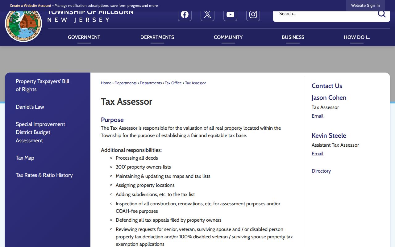
Use the property-card route to capture the parcel key before searching a name in any other address-based source.
Millburn Street Address Evidence
Records keyed by address serve different purposes. The PRC identifies the current parcel and tax contact, while PRESS documents legal transactions. SDL can date work at the property, and a numerical directory may put a historical household or business at the number. New Jersey’s public voter tool is a status check for a matching individual, not a way to assemble every name along a road. When a source produces a different name or address, keep the disagreement in the notes instead of forcing it into one story.
| Address-keyed source | Keeper | What it contributes | Access boundary |
|---|---|---|---|
| Property Record Card | Millburn assessor and linked PRC | Parcel, taxpayer or owner, mailing and situs fields, assessment | Exact result fields need live confirmation |
| MOD-IV annual data | NJ Treasury and Rutgers | Year, municipality, block or lot, class, address, assessment | Public owner-name search was removed |
| Tax map or parcel map | Assessor and map resources | Block, lot, subdivision context, parcel geometry | Stable live Millburn GIS interface was not verified |
| PRESS deed index | Essex County Register | Grantors, grantees, document dates, legal transaction trail | Index and image access have different limits |
| SDL permit search | Millburn Building Department | Work, applicant or owner, status, and date clues | Plans and private details are restricted |
| State voter tool | New Jersey election system | Matching registration status | No verified street-wide public roster |
| Numerical directory | Library and DigiFind-It | Historic address-to-householder or business snapshot | Runs have gaps and are not current |
Block and lot are the shared bridge. They link the assessor record to a recorded deed and can also direct a searcher to a subdivision map when a street number does not line up across time.
Millburn Street Directory Deed Chains
PRESS is the Essex County Register’s public index for instruments, document type, block and lot, and party names. For a parcel on a Millburn street, select the municipality and use the block-and-lot mode first. Then narrow to Warranty Deed and a useful date window. The portal permits only a 90-day date range, so a long ownership span may require several searches. A purchase deed can identify the grantee, grantor, document and recording dates, instrument or book and page, consideration, and legal parcel description.
The online dates need care. The PRESS basic-search statement says the index is searchable from October 1, 1996. The Register separately describes electronic property transactions and office images from May 1, 2001. Treat the earlier date as an index clue rather than a promise that every image is available. For an older step, the Essex PRESS public search is the first check, followed by the Record Room or the State Archives series when the needed book is not online.
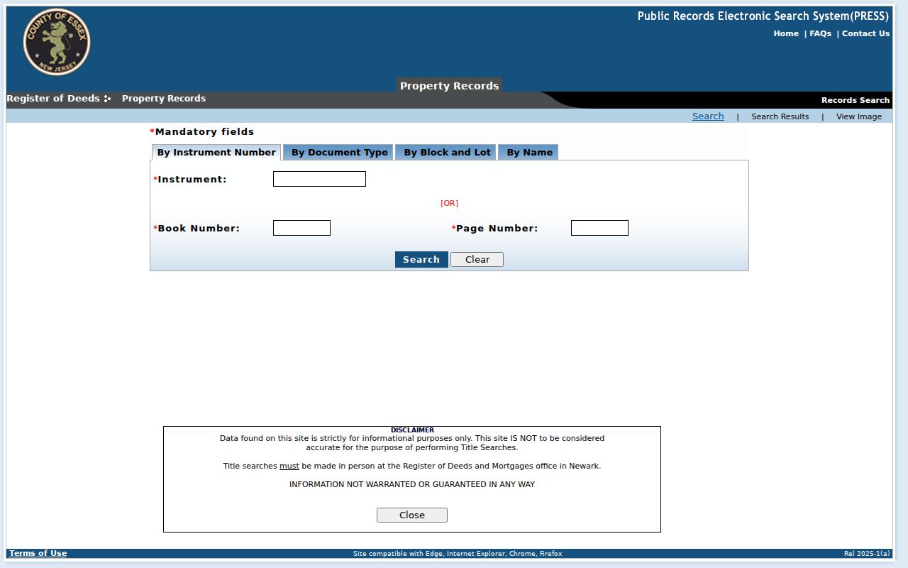
The screenshot shows why a parcel’s block and lot are more useful than a street-name search for a long transaction trail.
The Register’s Record Room is in the Hall of Records, Room 130, 465 Martin Luther King Jr. Boulevard in Newark. It preserves legal documents recorded since 1637, and staff can demonstrate the books and computers without conducting a title search. Public inspection is listed Monday through Friday, 8:30 a.m. to 4:30 p.m. A mail deed-copy request should identify the owner names, approximate transfer date, and address; a certified deed or mortgage copy costs $8 for the first page and $2 for each additional page. The index is not a title opinion, so title questions belong with a qualified professional.
Millburn Street Permits by Address
The Millburn Building Department adds a physical-history layer to an address. Its SDL route supports permit and application-status searching by owner name, property address, or parcel number. A permit can show when a project was applied for or inspected and may name an owner or applicant. It does not establish who occupied the property. Ordinary repairs can be exempt, and the Township FAQ lists work such as decks, pools, kitchens, bathrooms, sheds, electrical, and plumbing among common permit subjects.
The limits matter. Interior plans are not generally public because of security concerns, and old status entries need interpretation from the department. The FAQ says a permit can be void if left unpaid or unpicked up for six months and describes a one-year validity period. Use SDL to date a construction or alteration clue, then compare it with the deed chain and historical maps rather than treating the permit record as a resident record.
Note: An applicant, tax contact, or permit holder can be connected to a parcel without being its current physical occupant.
Millburn Street Names on Old Maps
Historic labels can solve an address problem that a current street search cannot. The Township preservation plan identifies roads following older trails, including Parsonage Hill Road, Old Short Hills Road, Hobart Avenue, Millburn Avenue, and Main Street. It also places Millburn Center, Wyoming, South Mountain, and the Short Hills sections within the same township record system. A property may carry a Short Hills postal label while its tax and land records remain under Millburn Township, district 0712.
The Millburn-Short Hills Historical Society Map Room provides local atlases and Sanborn sheets from 1886, 1895, and 1912, along with other historical maps.
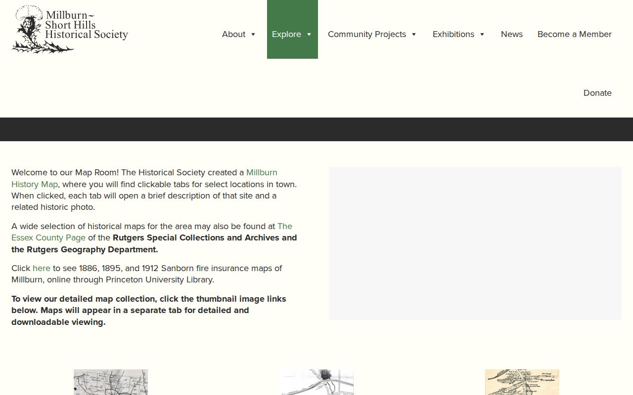
These maps can connect an older road name, subdivision, or building footprint to the parcel identifiers used by current records.
The preservation material lists maps from 1859, 1879, 1881, 1890, 1907, 1922, and 1928, while the Map Room includes a 1949 proposed Essex Street change. No definitive township-wide renumbering or renaming schedule was located. When a number fails, search old road names, the map or tract name, adjacent owners, and the legal block and lot together.
Millburn Street Directory Listings
The historical street layer comes from the library’s digitized directory run, not from the current parcel card. DigiFind-It lists Millburn City Directories from 1850 through 1981 with gaps. The 1950 Summit, Millburn, Springfield volume from Price & Lee has both an alphabetical name, occupation, and address section and a numerical street directory for householders and businesses. That numerical section is the useful by-address path when a deed names an owner but not a household.
Read the street number, the names or business clues beside it, and the publisher abbreviations, then test the result in an adjacent available year. A person appearing in a directory may have a different role than a deed party, so pair the listing with a census, newspaper notice, probate record, or recorded transaction. The collections themselves are described in the Millburn city directories.
Millburn Street GIS Gap
Myth: a historical map is a live parcel viewer. It is not. Research did not locate a stable official Millburn GIS URL or a complete, verified list of its address-search, parcel-popup, and layer controls. Do not assume that an online map can search every parcel, identify an owner, export a result, or show a current boundary. The assessor’s tax-map path, county resources, and the Historical Society maps are verified starting points, but they answer different questions.
For a current parcel, start with the assessor record and its block and lot. For an old label or building context, use the Map Room. If a live official viewer is later identified, confirm its controls and fields on an actual Millburn parcel before relying on it in a street-by-street search.
Millburn Street Record Boundaries
A street search cannot supply a complete list of household members, private utility customers, delivery information, protected addresses, sealed court parties, or motor-vehicle address data. The assessor identifies a parcel and its tax contact, not every person connected to a location. A transaction also proves that a document was recorded, not that a named party lives there now. The same caution applies to a historical directory, which is a dated local snapshot rather than a current confirmation.
Lawful use. Use Millburn address records for personal, lawful research such as family, property, and community history. Do not use them to stalk, harass, intimidate, or harm anyone.
New Jersey’s Address Confidentiality Program and Daniel’s Law can lawfully suppress or substitute protected addresses. A missing result can reflect a limit, a spelling difference, an undigitized record, or a different postal label. Confirm an important fact with the office that keeps the original record.